Zipcodes
This data product is available for free access and usage.
About
Dotlas maintains a comprehensive collection of ZIP code boundary data across global markets. These boundaries define postal code areas as precise polygon geometries, reflecting official administrative postal divisions.
The zip code data we collect is:
- Sourced from official postal authorities
- Updated regularly to reflect postal code changes
All standard geospatial formats are supported for easy integration with your preferred mapping tools.
Data Dictionary
| Column Name | Data Type | Description |
|---|---|---|
| zipcode | string |
Zipcode value |
| subregion | string |
State / Territory of the country in which zipcode is located |
| geometry | string (geometry) |
Full geometry of the zipcode shape (Polygon in WKT format) |
| country | string |
Country in which the zipcode is located |
Products
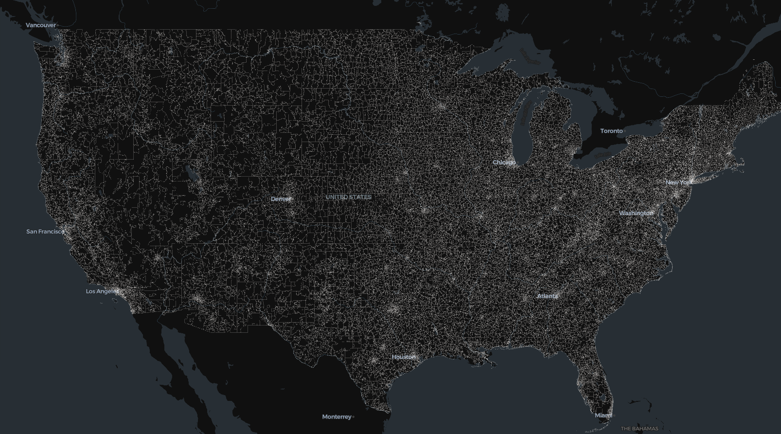
🇺🇸 United States Zipcode Boundaries
-
US Zipcode Boundaries
Zipcode boundaries and zipcode values for the United States including non-continental territories.
View Example Boundaries on the Map
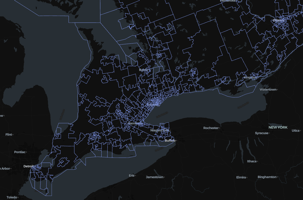
🇨🇦 Canada Level-3 Zipcode Boundaries
-
Canada Level-3 Zipcode Boundaries
Level-3 Zipcode boundaries and zipcode values for Canada
View Example Boundaries on the Map
Toronto and nearby surroundings available zipcode boundaries